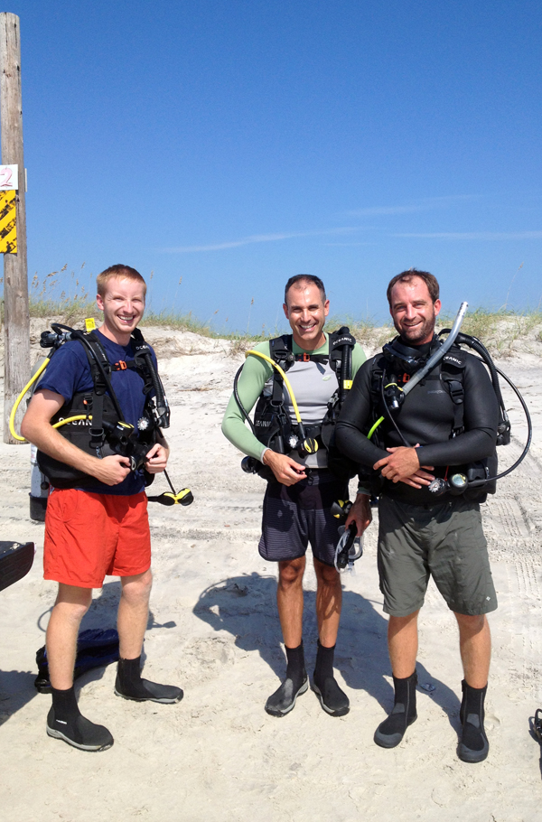
Justin, Tony and Matt ready to get into the water at Onslow Beach.
The southwestern half of Onslow Beach, NC is starved of sand. Using a side-scan sonar, we imaged peat and organic-rich sediment at the seafloor just seaward from where the waves start to break. Offshore from that, Miocene rock is imaged at the seafloor. It is difficult, at least for us, to get a true sense of what the seafloor looks like from these geophysical data (scale, rock type, relief, etc.). To gain perspective, we decided to SCUBA dive and collect a video of the seafloor from the shoreline to about 300 m offshore. Visibility nearshore was very low because that organic-rich mud was eroding and being suspended in the water column. Once we reached about 200 m from shore, visibility improved and we could clearly see rock outcropping at the seafloor (Belgrade Formation). That rock is shown in the video below, taken at a depth of about 7 m (23 feet).