Contact Information
Important:
Commitments to diversity and inclusivity are fundamental to the Rodriguez Lab and UNC-EMES’s mission.

Not really what Core Banks looks like, but a fun sticker.
Lab Musings (mostly)
- RT @annesmileyy: The 2022 @UNC_EMES grad student retreat was amazing! Loved spending time outdoors with fellow students and learning about… 08:27:27 PM October 12, 2022 from Twitter for iPhone ReplyRetweetFavorite
- RT @susanalesecohen: Have you met @ENEC_UNC graduate student @AndrewZachman? He studies the impact of forest stand structure and fire freq… 08:12:33 PM September 13, 2022 from Twitter for iPhone ReplyRetweetFavorite
- RT @UNCims: Did you catch the first field site blog post? Check it out! Stay tuned for a new post later this week. 06:00:09 PM September 11, 2022 from Twitter for iPhone ReplyRetweetFavorite
Lesson plans for middle- and high-school teachers that focus on estuarine fish habitats can be found here.
-
Recent Posts
- Explaining the wide range of salt marsh carbon accumulation rates August 12, 2022
- Working with John Anderson for 30 years June 18, 2022
- Elevations where oyster reefs grow best increase as they age June 3, 2021
Archives
Meta
The New River Estuary on a budget
We collected 8 cores from the New River Estuary to help our colleagues at VIMS and UCONN derive a carbon budget for the estuary. Cores were collected using the R/V Jenny and transported to IMS for subsampling. Brent McKee will be measuring sedimentation rates from the cores in his lab at Chapel Hill. Others will be looking at the amount and type of carbon preserved in the estuary through time.
Posted in Uncategorized
Tagged Carbon budget, coring, Jenny, New River Estuary, uconn, VIMS
Leave a comment
Research progresses at an oyster’s pace
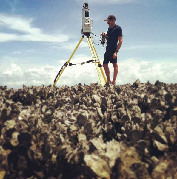
Understanding how oyster reefs grow is important for restoration and predicting oyster-reef response to accelerated sea-level rise, degrading water quality, and harvesting. In an attempt to map small-scale changes in oyster-reef morphology we are experimenting with terrestrial LIDAR. Click on the link below to see a visualization of the reef (courtesy of Justin Ridge). In two years we will revisit the reef and hopefully be able to resolve morphologic change.
[vimeo]http://vimeo.com/72269708[/vimeo]
Posted in Uncategorized
Leave a comment
Imaging buried reefs in the North River Estuary
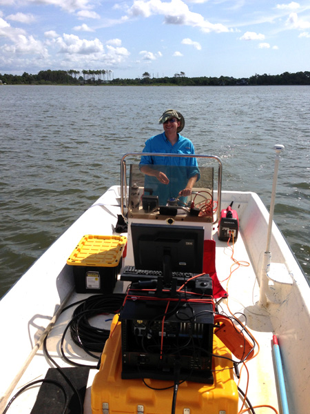
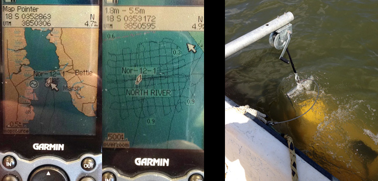
We know there is a buried oyster reef below the bay floor because we sampled it in a core, but how large is the reef and how rapidly did it grow? To help answer that question, Justin and I embarked on day-long adventure collecting CHIRP data in a grid pattern around where we sampled the reef. I’ve imaged oyster reefs very clearly in other places, but watching these data scroll across the computer screen in the field was a bit disappointing because the reef was not always easy to identify. The North River Estuary is very shallow, about 1 m deep at high tide, which explains our choice of research vessel. One thing I did learn is that Justin is an amazing boat driver at 2.5 knots. The spacing between our lines was only 100 m.
Posted in Uncategorized
Leave a comment
Field trip with PBS QUEST
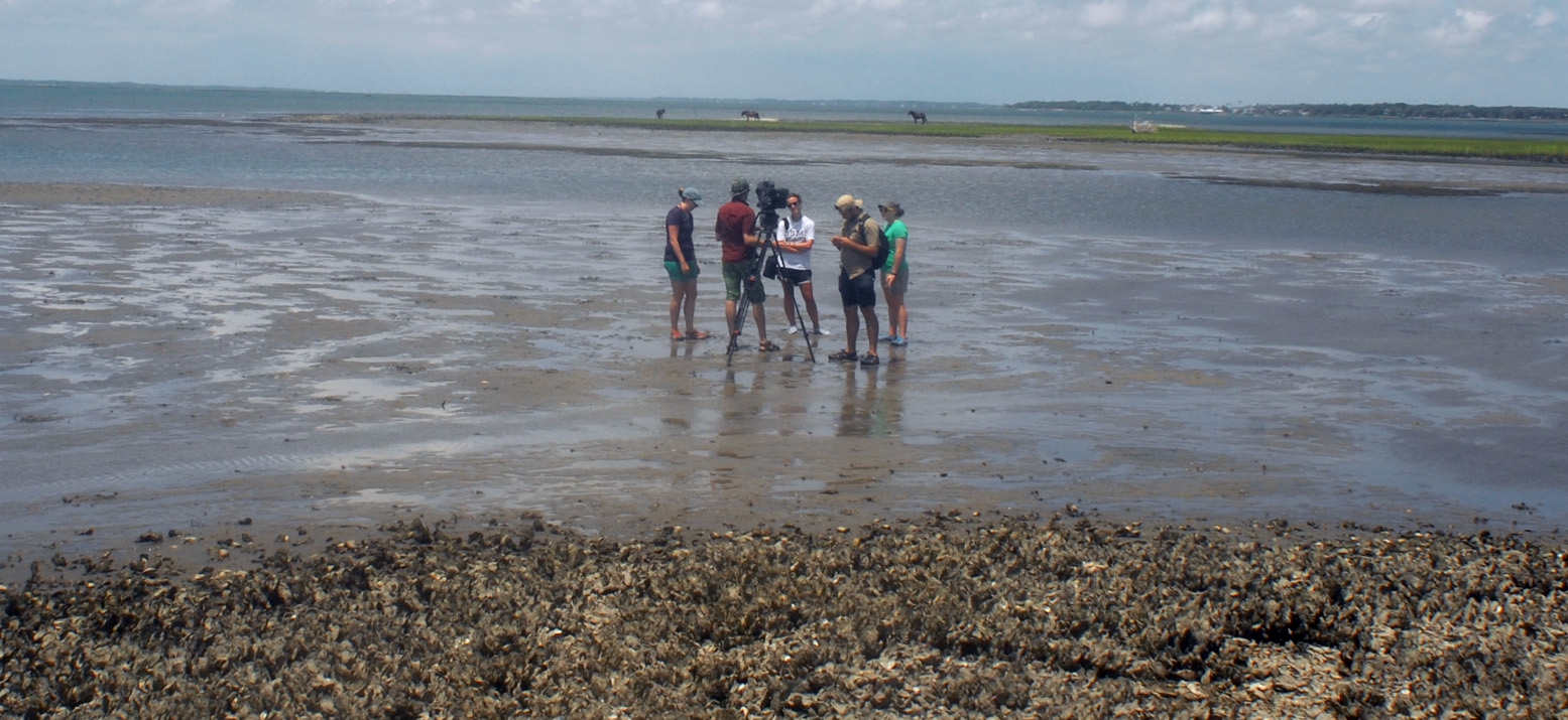
QUEST joined us in Back Sound, a shallow body of water behind Shackleford Banks, North Carolina, to learn about our work with oyster reefs. We were laser scanning a natural reef that formed on a sandflat in an area that is thought to be an old flood-tidal delta. We anticipate that the part of the reef that is growing vertically most rapidly is exposed to air 40% of the time and exists in a ring around the center of the reef. The full moon and southwest wind made for an extreme low tide and most of the area was exposed. Two years from now we will scan the reef again to see if our hypothesis was supported.
Posted in Uncategorized
Tagged North Carolina, oyster reef, QUEST, Shackleford Banks
Leave a comment
Oyster-reef burial…by wind-blown sand
Last week Ethan, Justin, an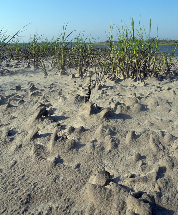 d Taylor visited that washover fan on Onslow Beach that formed during Hurricane Irene to measure aeolian transport during a wind event. They noticed that backbarrier marsh and oyster reefs were being buried by wind-blown sand. Previously, we documented that wind-blown sand contributes to backbarrier marsh accretion (see our list of publications), but burial of an oyster reef by wind-blown sand is not a common occurrence. They did a great job documenting the burial event with video and photos. Every time we visit Onslow Beach there is something new to see and learn.
[vimeo]http://vimeo.com/68639297[/vimeo]
Posted in Uncategorized
Tagged aeolian, Hurricane Irene, marsh, Onslow Beach, oyster reef, saltmarsh, washover
Leave a comment
Tropical Storm Andrea
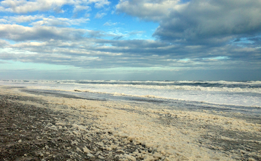 This is what the beach at Pine Knoll Shores (Bogue Banks, NC) looked like around 6 pm on June 7 as the storm passed by.
Posted in Uncategorized
Leave a comment
Lots of Coring at Onslow Beach
This week we were collecting transects of cores across Onslow Beach, NC to measure the thickness and carbon content of peat and organic-rich sediment preserved below the island and accreting in the backbarrier. Taylor Bennett, an undergraduate student from Mount Holyoke College, is working with some of these data for her Research Experiences for Undergraduates project. She will be at IMS for a couple of months. Below is a video of the transect of cores she is working with. We collected those data on Monday and had to bushwack our way through that thick Phragmites grass. It was Taylor’s favorite field excursion so far.
[vimeo]http://vimeo.com/67839220[/vimeo]
Posted in Uncategorized
Leave a comment
Measuring Marsh Accretion using Pb-210
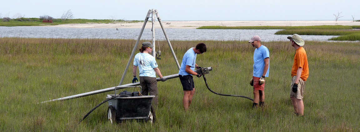
Ethan is exploring new ways of estimating carbon budgets for saltmarshes as part of our paper-writing working group (with the Fodrie Lab) that meets every Monday afternoon (and for his dissertation). We needed some help measuring rates of marsh accretion at Carrot Island, NC and convinced John Gunnell and Brent McKee to team up with us. On Monday May 20th we collected four cores of the saltmarsh that John will develop Pb-210 profiles from. Hope the wild horses didn’t disturb the area too much.
Posted in Uncategorized
Leave a comment
Roanoke floodplain and delta
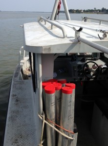
On Tuesday May 14 we visited the Roanoke River to collect some data with Anna for her dissertation. Anna is interested in better understanding the connectivity between the river channel and floodplain in terms of exchanging particles. We have three monitoring stations set up along the floodplain with water-level loggers and marker beds. We were only on the water for about 3 hours collecting cores through the marker beds and reading out the sensors. On the way home we purchased 24 30-foot aluminum tubes for vibracoring later in the summer (maybe on Monday if the weather holds) so stay tuned.
Posted in Uncategorized
Leave a comment

