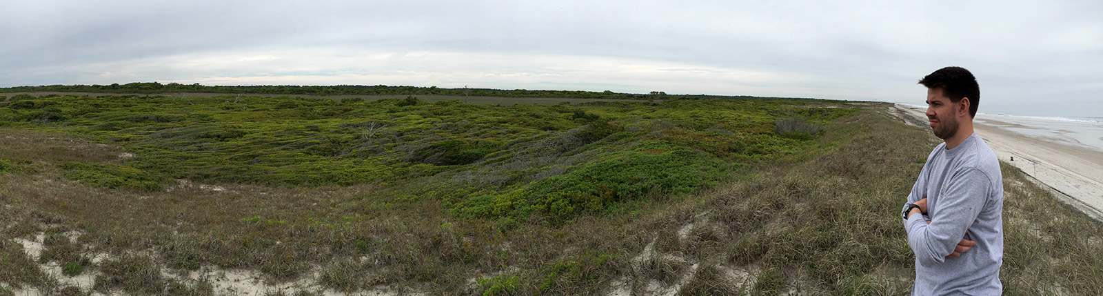
We’re contemplating how to sample the barrier with all of that shrubbery in the way.
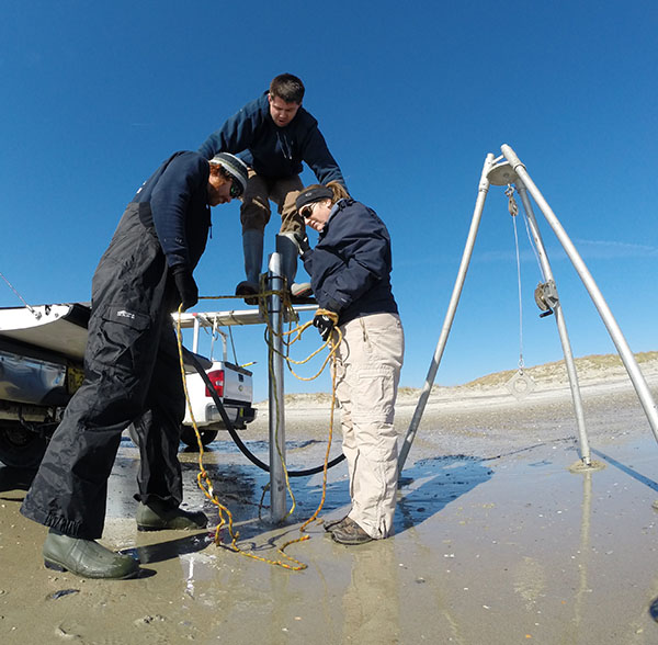
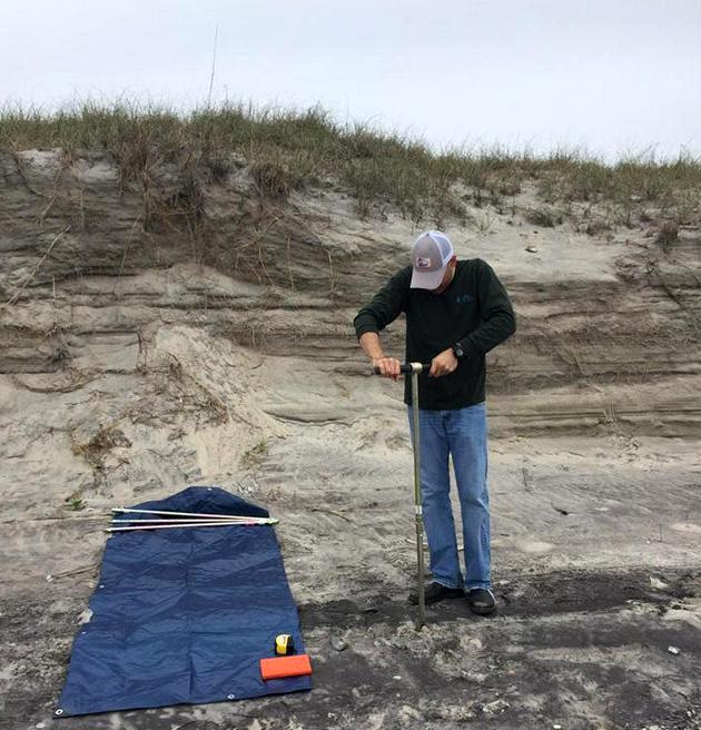
For the past few years we have been working on compiling a data set of the age and landward extent of ancient washover fans on a Barrier Island in North Carolina. An ancient washover fan is identified as a sand bed sandwiched between two saltmarsh units. We had one last washover fan to map and decided to use an Edelman Auger instead of vibracoring because we knew that this part of the beach was difficult to access. The vibracoring rig is heavy, bulky, and requires a lot of space to use so we thought a hand auger would be the way to go; big mistake.
We first tried it on the backshore, and everything was going well until we hit the water table and the hole kept filling in. We are supposed to be able to sample below the water table with this tool, but it is very difficult to pull the tool out of the ground after the hole collapses. One thing I learned is that it’s time for Ethan and me to hit the gym.
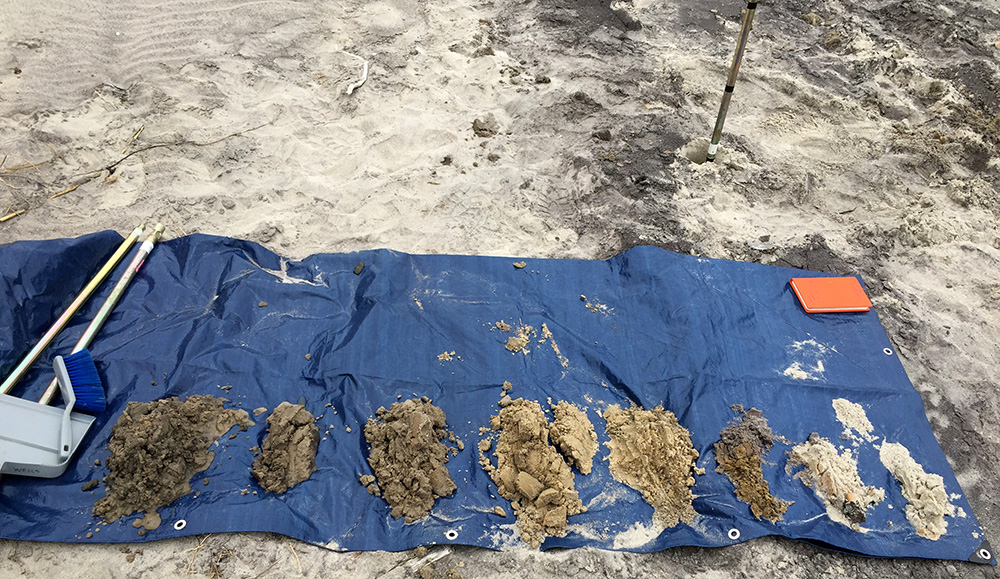
Each pile represents a 25-cm sample interval. We sampled to a depth of 2 m. Wish we had brought the vibracore.
We tried to access the middle of the island, but the vegetation was too dense. We crawled into the thicket, and in addition to the lack of space, it smelled like something had died nearby and was in the middle of decomposing. We ended up hiking around the back of the thicket to collect our samples and managed to penetrate down to about 3 m, which was deep enough to sample the entire island. The Edelman Auger might work well in other environments, but it is not the right tool for sampling a barrier island, unless you are only interested in the upper 1 m of stratigraphy.
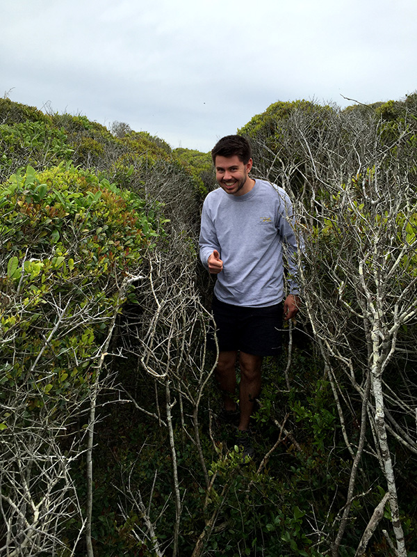
Ethan confirming the smell of death and the lack of room to collect samples in the thicket.
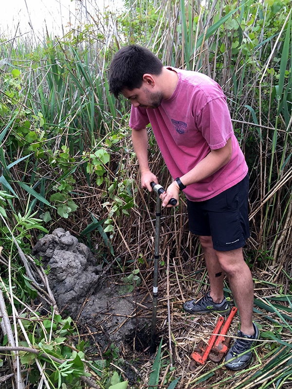
Collecting samples on the back side of the thicket in the phragmites marsh. We spent all day basically digging holes.