Beware: measuring beach erosion with 2-D profiles can yield spurious results

ethan_guitar

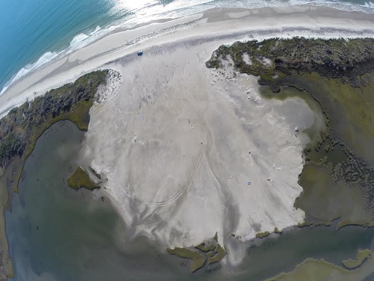
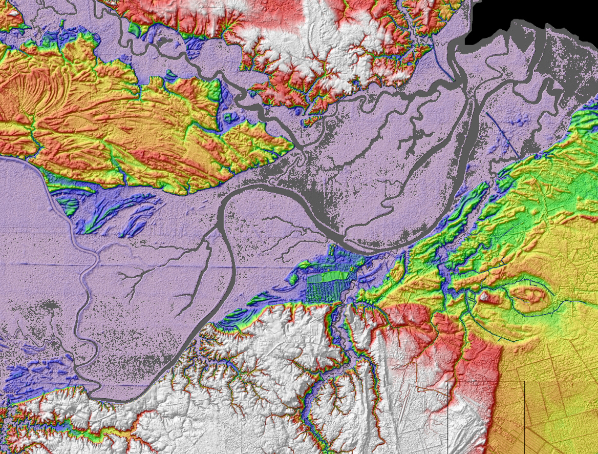
Why is Ethan so happy?  Well, he just published a new paper in Earth Surface Processes and Landforms entitled, “Evaluating proxies for estimating subaerial beach volume change across increasing time scales and various morphologies“.  In the paper, Ethan critically evaluates proxies, such as changes in beach profiles and shoreline positions, which are commonly used in management and research for estimating changes in subaerial beach volume.  He used terrestrial laser scanning data to create multiple high-resolution topography maps of beaches with variable morphology over a period of 3.5 years.  Those maps were then used to compare the various volume-change proxies.  This work is important because management decisions and research results may be adversely influenced by inaccurate depictions of beach volume change that were based on a proxy that is not well suited to that particular beach morphology or time frame of interest.  Check out his paper online and don’t forget to look at supplemental information where all of the maps are displayed.ESPL

Posted in Uncategorized | Leave a comment

Using a Quadcopter/GoPro combo to measure morphologic change from above

In the past we have relied on aerial photography when measuring the morphology of unnamed-3washover fans. These fans are constantly changing shape, but we aren’t able to document these changes because images taken from a plane are only collected every couple of years. To remedy the problem, we’ve attached a GoPro to a remote-controlled quadcopter that we use to fly over the fans. With this technology, we’ve managed to capture some awesome, high-quality aerial images of the fan.

The benefit of using the quadcopter is not only limited to measuring washover fans – we’ve also started flying over man-made oyster reefs in Middle Marsh, NC. The images and videos taken with the GoPro will help us assess the growth of the reefs.
[vimeo]https://vimeo.com/89644452[/vimeo]

Posted in Uncategorized | Leave a comment

Where do coastlines stabilize following rapid retreat?

Roanoke Bayhead DeltaBayhead deltas are located where rivers flow into estuaries.  They have broad low-elevation plains that are sensitive to small increases in the rate of sea-level rise.  In the past, when sea level was rising at a rate of 1 m per 100 years, bayhead deltas across the Northern Gulf of Mexico experienced a phase of rapid landward retreat.  Subsequently, those bayhead deltas  stabilized and Alex Simms (UC Santa Barbara) and I are interested in better understanding controls on bay-head delta stabilization following rapid retreat.  We recently published a paper in Geophysical Research Letters  that shows bayhead deltas stabilize at tributary junctions as they are moving landward in response to sea-level rise.  These results highlight the shortcomings of models that predict the impacts of sea-level rise by simply flooding topography (i.e. bathtub or passive-inundation models).  One of those passive-inundation models is being served by NOAA.  Play with the NOAA model online and then read our paper.

Posted in Uncategorized | Leave a comment

Inspiring students work with teachers

EOSEthan and Justin created SciREN, the Scientific Research and Education Network, to establish a forum through which scientists can efficiently provide teachers scientific resources for the classroom.  The first event was held at the Pine Knoll Shores Aquarium in April 2013.  To get the word out and inspire others to host SciREN events at different venues across the country, Ethan and Justin wrote an article for EOS, Transactions of the American Geophysical Union, which was published on Feb 4.  Check it out and remember, it’s not enough to publish results in scientific journals; new concepts need to be disseminated to the entire community, including K-12.Justin and Ethan on stage

Posted in Uncategorized | Leave a comment

Floodplain sediment storage

Jenny_roanokeAnna_square

Anna Jalowska has been monitoring sediment storage on the Roanoke River floodplain for about three years.  She has deployed feldspar marker beds and water-level loggers from the mouth of the river near Albemarle Sound to about 15 km up river on the floodplain.  Her results show that floodplain sedimentation is dynamic.  Some months she measures one or two centimeters of deposition, while other months that same amount of sediment has been eroded.  During this trip in November, Anna’s primary adviser, Brent McKee, sampled about 1 meter of mud from the thalweg of the Roanoke River.  The river channel itself could be an important temporary-storage site for sediment.  Sediment-transport routes to basins are not direct; there are many layovers and at each stop the sediment is slightly altered.

Posted in Uncategorized | Leave a comment

Justin Ridge selected for NCSG and NCCR’s coastal research fellowship

Captain Ridge

Justin Ridge just learned that he was awarded a North Carolina Sea Grant and N.C. Coastal Reserve’s Coastal Research Fellowship for his proposal entitled: LANDSCAPE CONNECTIVITY INFLUENCES GROWTH AND ACCRETION IN TEMPERATE BIOGENIC REEFS AND ADJACENT SALT MARSHES.  The fellowship is designed to foster research within the North Carolina Coastal Reserve system.  He is one of two recipients to receive up to $10,000 of funding to be spent in the 2014 calendar year.  His research will take place in the Rachel Carson National Estuarine Research Reserve.  Congratulations, Justin!  By the way, if you are interested in helping Justin with the project, he is looking for an undergraduate student or recent graduate to work on the project with him this summer at IMS.  Contact Justin if you are interested.

Posted in Uncategorized | Leave a comment

Teacher workshop focused on intertidal habitats

We are taking applications from middle and high school science teachers to participate in a workshop at IMS in the Spring of 2014.  The goal is to create lesson plans using data-rich movies of intertidal habitats with emphasis on fish utilization.  We are still working on the first cut of the movies, but they will be ready by the time of the workshop.  Please pass the word around and visit the website for more information by clicking on the image below.fishy

Posted in Uncategorized | Leave a comment

Oyster-reef bit airs on Quest, The Science of Sustainability

Back in July we spent the day with David Huppert, who was producing a video story on oyster-reef restoration for the PBS show Quest.  He tagged along with us while we collected some laser-scanning data from a natural reef near Shackleford Banks, NC.  Click on the image below to view the video.  Thanks for including our work in your story, Dave.

Oyster Reef Restoration image

Posted in Uncategorized | Tagged , , , , , , , , , , , , | Leave a comment

Coring backbarrier marshes to measure carbon storage

Island overwash forms new intertidal substrate (washover fans) for saltmarsh colonization.  As a barrier island moves landward in response to sea-level rise, that marsh sediment will eventually be eroded on the shoreface.  To develop coastal carbon budgets, it is important to measure rates of marsh accretion and landward movement of the island.  We are collaborating with Brent McKee and Carolyn Currin to obtain those data.

Taking a 1-m long core near one of Carolyn Currin's SETs

Taking a 1-m long core near one of Carolyn Currin’s SETs

Ground surface after core extraction.

Ground surface after core extraction.

After the core is collected, we slice it up in 1 cm bins back at the lab.  It is difficult cutting through marsh grass so Ethan brought in an electric meat carver, which worked great.  Check out the movie of Dr. McKee using the meat carver (below).  $29.99 at Walmart or if you need to purchase it using a grant, UNC negotiated a special price of $200.00 with a government-approved vendor.  Watch the video below (or click here if it is not being displayed) of the core being sectioned and notice the variations in biomass down core.  Each frame is 1 cm down core starting at the ground surface.  The last few frames are below the marsh.

[vimeo]https://vimeo.com/76950361[/vimeo]

[vimeo]https://vimeo.com/76950360[/vimeo]

Posted in Uncategorized | Tagged , , , | Leave a comment

IE class verifies Walther’s Law in the field

IE_field_trip_2013

The Institute for the Environment (IE) class is learning about coastal geology this week by experiencing it first hand.  Walther’s Law tells us that the vertical succession of facies reflects lateral changes in environment.  That concept is an important part of the coastal geology foundation and we learned how to apply it by collecting a vibracore from an old flood-tidal delta deposit that was active 1800 AD.  The old flood-tidal delta is part of Bogue Banks, NC and is located just across the sound from IMS.  The IE class brilliantly identified sediments deposited in the salt marsh, flood-tidal delta, and Bogue Sound environments, all stacked on top of each other and sampled in our core.


Posted in Uncategorized | Tagged , , , , | Leave a comment