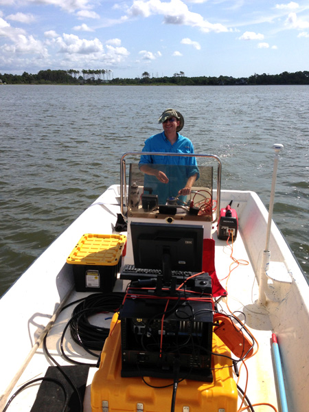
Justin at the ship’s helm.
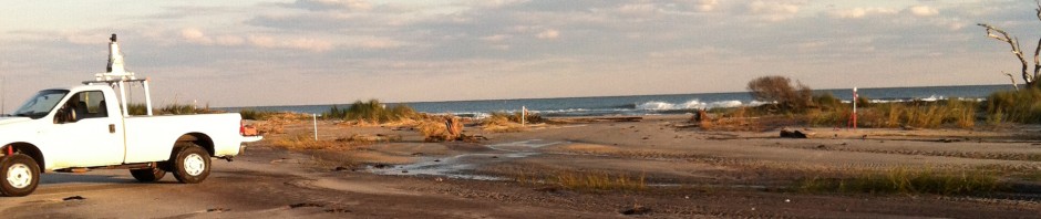
We know there is a buried oyster reef below the bay floor because we sampled it in a core, but how large is the reef and how rapidly did it grow? To help answer that question, Justin and I embarked on day-long adventure collecting CHIRP data in a grid pattern around where we sampled the reef. I’ve imaged oyster reefs very clearly in other places, but watching these data scroll across the computer screen in the field was a bit disappointing because the reef was not always easy to identify. The North River Estuary is very shallow, about 1 m deep at high tide, which explains our choice of research vessel. One thing I did learn is that Justin is an amazing boat driver at 2.5 knots. The spacing between our lines was only 100 m.

The North River Estuary and the grid of data we collected. Look at that fish in the water.